Waves are mainly a product of the wind’s interaction with the ocean surface, and they play a crucial role in shaping our coastlines and coastal waters. To understand them better, in-situ wave measurement instruments are routinely deployed in coastal waters by government agencies, industry, and academics.
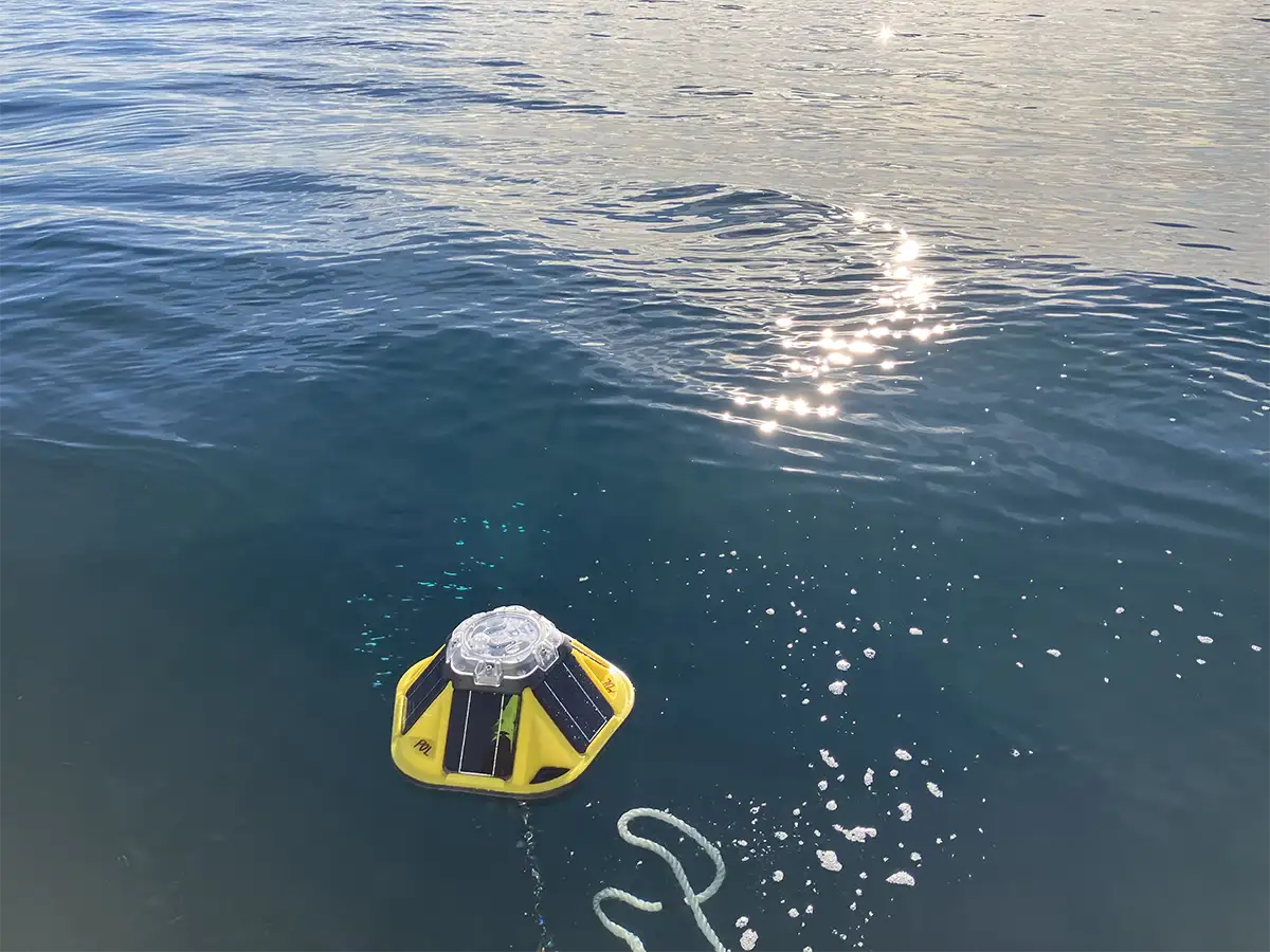
Wave buoys are a commonly used wave measurement instrument. Wave buoys are set out to gather information to be used for various objectives, such as supporting maritime operations and shipping, providing hazard alerts for both commercial and recreational users along the coast, aiding in engineering design for structures like ports and coastal defences, guiding the formulation of coastal management strategies and assessing their effectiveness, and contributing to research on oceanographic and coastal processes.
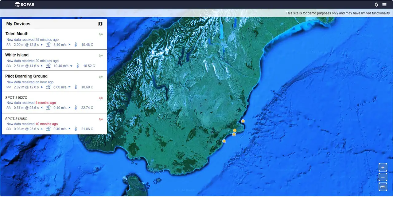
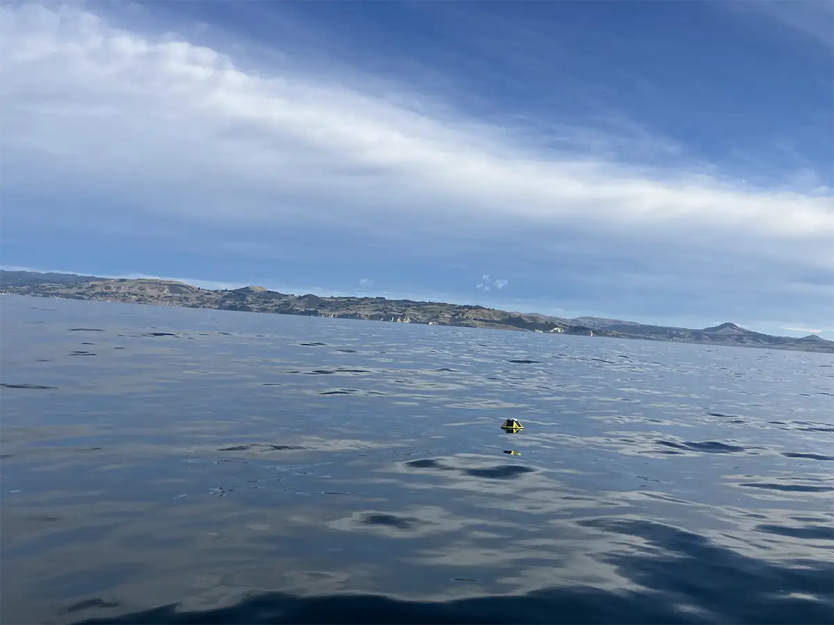
As part of our coastal monitoring program, DCC Coastal Engineer Mo Razzaghi, in collaboration with Otago Regional Council and Port Otago Ltd, deployed three Spotter wave buoys along the Dunedin coast on 30 April 2024. These Spotter wave buoys will be maintained every couple of months to deliver real-time surface and subsurface data such as wave spectra, sea surface temperature and atmospheric pressure to researchers, operators, and innovators.
The Otago wave buoys are moored approximately off the coast of Taieri, St Clair and Aramoana Beach.

Anyone interested in seeing the live data can access it through the SOFAR platform.


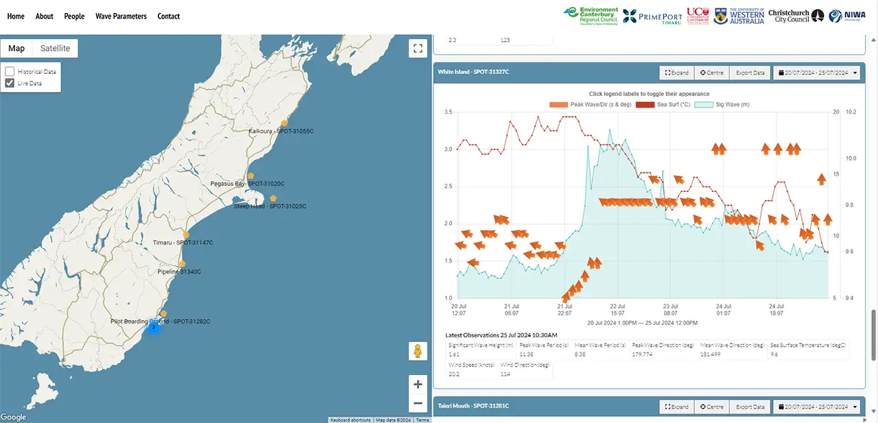
In collaboration with Environment Canterbury and University of Canterbury, we have joined a network of wave buoys for the South Island which is growing to include more sites. You can access all this network on the South Island Waves website.

