The Harbour Link project improves connections from the city to and around the harbour for people on bikes and foot.
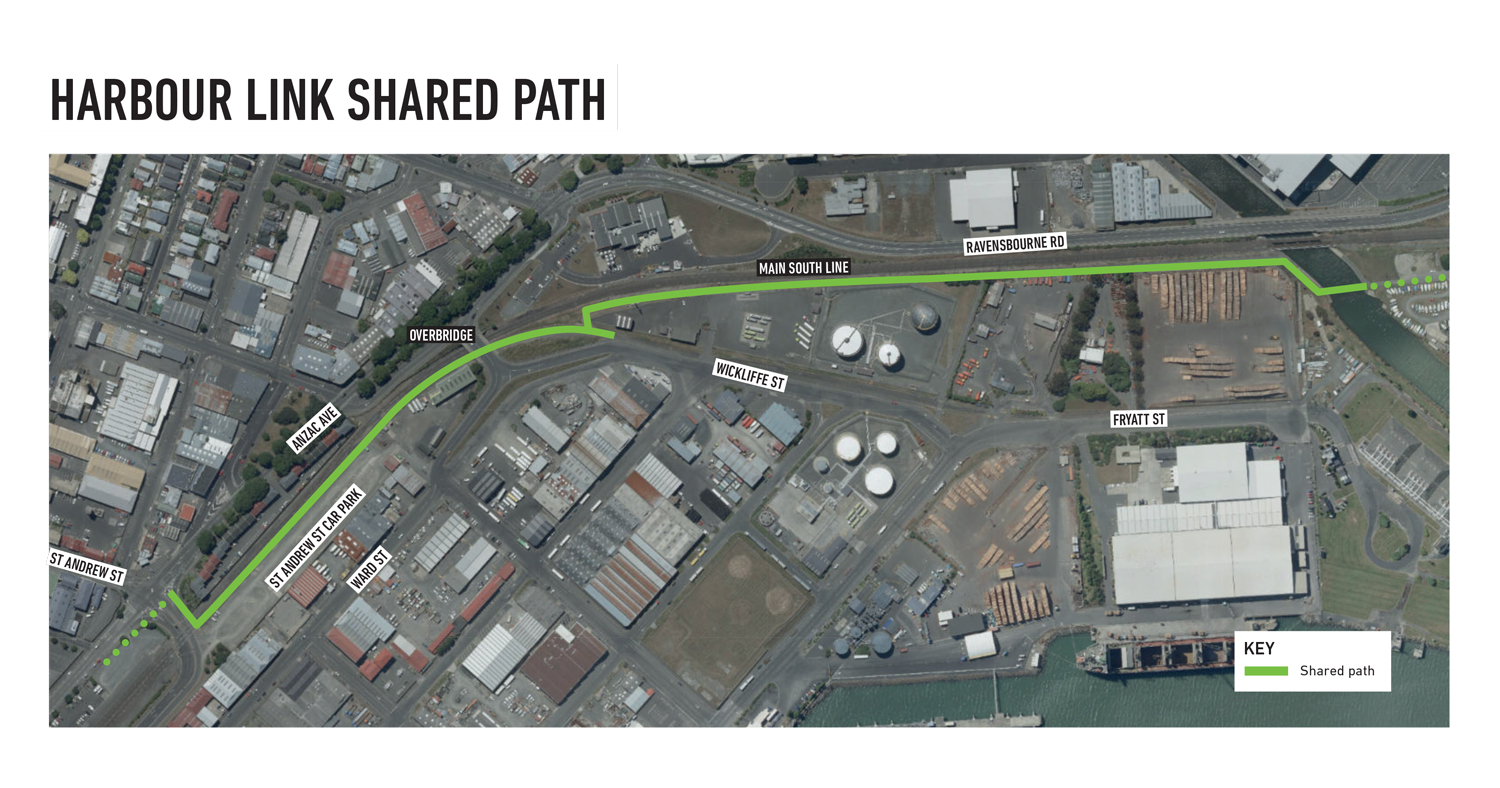
The below map shows the project scope.

The project started in 2017 and has been implemented incrementally since then.
The last section of the Harbour Link was completed early 2024. This means that people can now safely walk, cycle and scoot along the harbour all the way from Port Chalmers to Portobello.
Completed sections of the project are:
- Harbourside route: From the Water of Leith bridge, new roads markings have improved the cycle lanes along Fryatt, Birch and Kitchener Streets. A shared path has been formed along the harbour front between Fryatt and Birch Streets. Signs show people the way.
- Portsmouth Drive: The Portsmouth Drive shared path has been improved, including being resurfaced. The Portsmouth Drive path takes people out to join the recently completed Vauxhall to Macandrew Bay section of the Peninsula Connection.
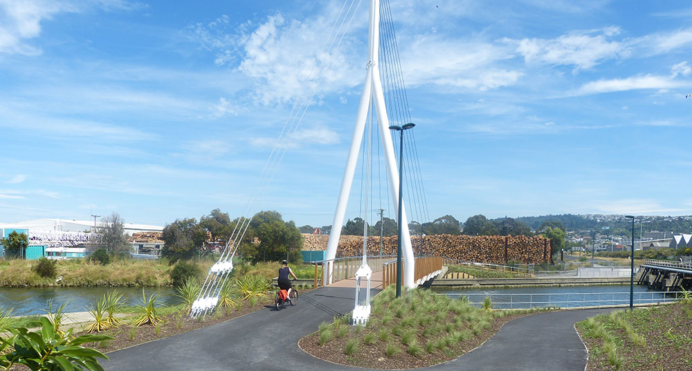
- Dunedin Railway Station to Water of Leith On Anzac Avenue a cycleway was built from the railway station to St Andrew Street with safety improvements to the St Andrew Street/Anzac Avenue intersection. A new Water of Leith walking and cycling bridge has been built. The bridge connects the city to the shared path to St Leonards and Port Chalmers.


